Showing posts with label Campobello Island NB. Show all posts

Wednesday, January 12, 2022

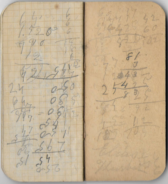
Notebook for Customers of George W. Capen of Eastport, Maine; possibly owned by Elias Thurber of Campobello Island, New Brunswick

Reprinted, with permission, from the Heirlooms Reunited blog

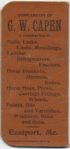
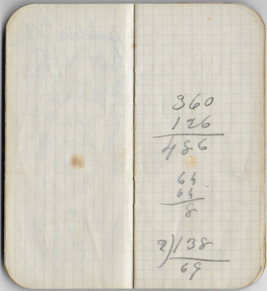
Small notebook given to customers of George W. Capen of 61 Water Street, Eastport, Maine.  

Possibly owned by Elias Thurber (1841-1925) of Campobello Island in New Brunswick, Canada - his name appears on the inside back cover.

Capen sold a wide variety of items, as the back cover shows - everything from Lumber to Refrigerators to Horse Harnesses to Plows to Bran and Oats.
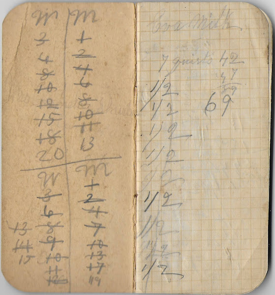
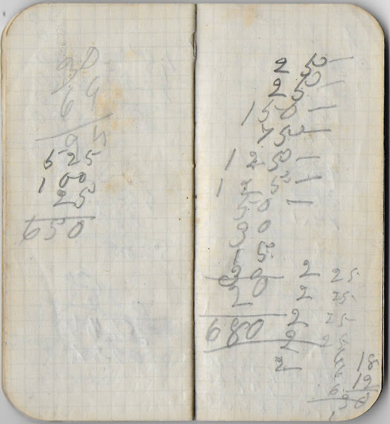
The page below shows the name Eva.

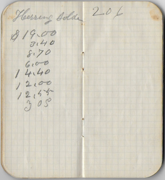
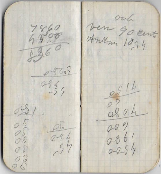
The page below shows the value of herring sold.
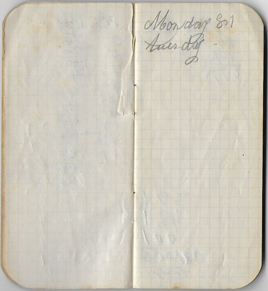
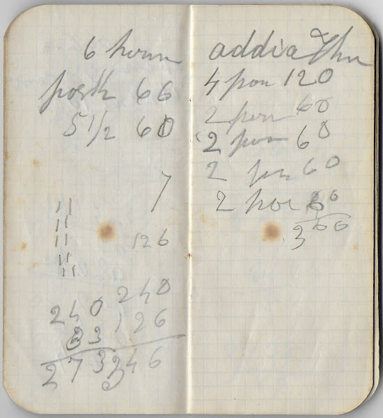
The page below might show the name Addie.
The inside cover, below, shows the name Elias ?, perhaps Elias Thurber.  Interestingly, there was an Elias Thurber (1841-1925) on Campobello Island, New Brunswick, just across Passamaquoddy Bay from Eastport, Maine.  Perhaps Elias was the owner of this little notebook.
If you have a theory as to the owner of this notebook or the names that appear in it, please leave a comment for the benefit of other researchers.

Tuesday, January 11, 2022

1893 Booklet "Souvenir of Quoddy"; scenes around Passamaquoddy Bay in Maine and New Brunswick


Reprinted, with permission, from the Heirlooms Reunited blog.

"Souvenir of Quoddy", a booklet of scenes from around Passamaquoddy Bay in Maine and New Brunswick, published in 1893 by Charles E. Brown at the Loring Studio in Eastport, Maine. The booklet was printed in Boston, Massachusetts, by John Andrew & Son.

The Loring studio was founded by Davis Franklin Loring (1819-1891), father-in-law of Charles E. Brown.


The photographs depict scenes from:
  • Eastport, Maine
  • Lubec, Maine
  • Robbinston, Maine
  • Pembroke, Maine
  • Perry, Maine
  • St. George, New Brunswick
  • Islands in Passamaquoddy Bay
    • Eastport, Maine, on Moose Island
    • Cherry Island, New Brunswick
    • Campobello Island, New Brunswick
    • Allan's Island (now Treat Island), Maine
    • Grand Manan, New Brunswick
        
Images of all of the pages appear at the end of this post.


Scenes include:
  • a page with two photographs of the Eastport, Maine, waterfront, taken from the Bay
  • a page with three photographs Eastport, Maine: the Toll Bridge, Goudy's Point and Carrying Place
  • a page with four photographs of Eastport, Maine: Frontier National Bank, the Savings Bank; Boynton High School and the Custom House
  • a page with ten photographs, entitled "Eastport of Former Days"
  • a page with three photographs: of fishing boats; Estes Head in Eastport, Maine; Cherry Island, New Brunswick
  • a page with a photograph of Pulpit Rock in Robbinston, Maine
  • a page with a photograph of "Old Friar" on Campobello Island, New Brunswick
  • a page with 4 photographs of Campobello Island, New Brunswick: Head Harbor; Herring Cove; Lake Glensevern; Meadow Brook
  • a page with 5 photographs of Campobello Island, New Brunswick, including Friar's Bay, Harbor DeLute, Echo Lake
  • a page with two photographs of the Lubec, Maine, waterfront, taken from the Bay or from Campobello Island, New Brunswick
  • a page with 3 photographs of Lubec, Maine: the Landing; Looking South; Hotel Ne-Mat-Ta-No
  • a page with a photograph of Sail Rock, just off West Quoddy in Lubec, Maine; easternmost point in the lower 48
  • a page with a photograph of West Quoddy Light in Lubec, Maine; from the rocky shore with the lighthouse in the distance
  • a page with a photograph taken on Allan's Island looking south toward Lubec, Maine, and Grand Manan, New Brunswick - now Treat Island in Eastport, Main. The photographs shows numerous buildings no longer there
  • a page with two photographs, of Pembroke, Maine, and of Perry, Maine
  • a page with a photograph of the Indian Village at Pleasant Point in Perry, Maine
  • a page with a photograph of Dark Harbor, Grand Manan, New Brunswick
  • a page with a photograph of Southern Head Light, Grand Manan, New Brunswick
  • a page with three photographs of St. George, New Brunswick: the Landing, the Village and the Falls
  • a page with five photographs of Grand Manan Island, New Brunswick: Swallow Tail Light; Southern Head; Flagg's Cove; Dark Harbor Bar; Southern Cross


Tuesday, December 14, 2021

Charles Dudley Warner's 1874 Perspective on the Difficulty of Sailing Past Campobello into Eastport, Maine - But a War?


Reprinted, with permission, from the Heirlooms Reunited blog.

An interesting perspective by Charles Dudley Warner (1829-1900) on the problem that Campobello Island in New Brunswick, Canada, and the extreme tides in Passamaquoddy Bay have always posed for mariners headed to Eastport, Maine.  

Included in Warner's Baddeck and That Sort of Thing, published in 1874.  A later printing can be read on Archive.org.

Warner's published sentiments apparently predate 1874, perhaps by seven years or more, as he mentions the British several times, and England once, but not the Dominion of Canada, formed in 1867. In addition, by the time of the publication of Warner's book, the "flag and cannon", indicating Eastport's Fort Sullivan, had been decommissioned the year before.


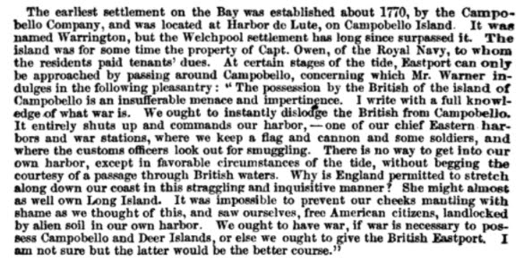
The possession by the British of the island of Campobello is an insufferable menace and impertinence. I write with a full knowledge of what war is. We ought to instantly dislodge the British from Campobello. It entirely shuts up and commands our harbor, - one of our chief Eastern harbors and war stations, where we keep a flag and cannon and some soldiers and where the customs officers look out for smuggling. There is no way to get into our own harbor, except in favorable circumstances of the tide, without begging the courtesy of a passage through British waters. Why is England permitted to stretch along down our coast in this straggling and inquisitive manner?  She might almost as well own Long Island. It was impossible to prevent our cheeks mantling with shame as we thought of this, and saw ourselves, free American citizens, landlocked by alien soil in our own harbor.  We ought to have war, if war is necessary to possess Campobello and Deer Islands, or else we ought to give the British Eastport. I am not sure but the latter would be the better course."

Taking the other course into Eastport, along Deer Island, would have put Mr. Warner through the Old Sow, the world's second largest whirlpool, which, depending on the tide, would have put on a real show.

As for Warner's option of giving Eastport to the British: deja vu - the British had taken Eastport in 1814 during the War of 1812 and were persuaded to return it to the United States in 1818 only after lengthy post-war negotiations.  

During the British occupation, Fort Sullivan, which was constructed in 1808, was renamed Fort Sherbrooke, in honor of Sir John Coape Sherbrooke, then military commander of the Provinces of Nova-Scotia, New-Brunswick, and their Dependencies, including the Islands of Newfoundland, Cape Breton, Prince Edward and Bermuda. He later became Governor General of British North America.

In 1818, with the British evacuation, the fort was once again Fort Sullivan.  Still standing are the remains of a powder house built by the British in 1814, shortly after their occupation, and a building constructed in the early 1820s, the North Officers' Quarters, known locally today as "The Barracks".